Ore Trail
60 exciting kilometres of hiking through Salzburg's Pongau region
The Ore Trail connects the four Geopark municipalities of Hüttau, Bischofshofen, Mühlbach am Hochkönig and St. Veit im Pongau over a distance of approx. 60 km. This forms the backbone of the Ore of the Alps UNESCO Global Geopark. It leads from the Larzenbach show mine to the Hüttau municipality office, where the mineral museum is located, via the Klammalm to the Hochgründeck. It also leads over the Hofersattel to the Hörndlwald chapel and down to the Buchberg. An alternative way is the path from Hüttau via the Fritzerberg to the Buchberg. The trail continues along the slope of the Buchberg to Bischofshofen to the Geopark visitor centre, which is located in the area of the Paul Außerleitner ski jump.
The trail leads via the waterfall and Bürglhöh, the Knappensteig and the Kalten Bründl to the Arthurhaus. From the Arthurhaus, the route leads through the Barbara gorge and the old Mitterberger road to Mühlbach to the show mine and the Knappenheim. The trail continues via the Pauss Bauer to the Pronebenalm and along forest paths to St. Veit, past the Fadlstoa Chapel and to the Sunnpau show mine.
From there, the trail continues to the Seelacken Museum, where the ore trail ends. In addition to the "big attractions", such as the show mines and the museums, you will come across many traces of mining along the ore trail, such as pits and old smelting sites etc. In addition, information boards provide interesting facts about geology, the development of the landscape, the history of settlement, farming life, etc. There are marvellous panoramic views along the entire trail and additional information on display boards (Geosites) complement the unique experience.
There are QR codes on the geosites, which, when scanned with a mobile phone, provide additional information, images and child-friendly content (prepared in three age groups) that complement the geosites for adults.
However, the Ore Trail experience also includes themed adventure stations, adventure trails, nature playgrounds, picnic areas, oases of peace, alpine farmers offering their own products and excellent restaurants serving local specialities. The entire route takes at least four days to complete, but can also be hiked in five stages.
Important: No special hiking equipment is required. However, good footwear, hiking poles and a reasonable level of fitness are highly recommended for the entire Ore Trail.
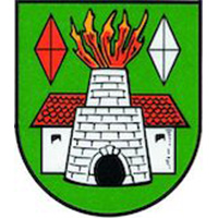
1. from Hüttau to the Hochgründeck
The first stage is approx. 13 kilometres long. It takes about 4 hours to complete.
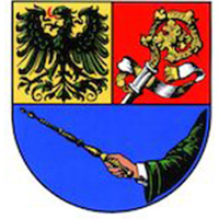
2. from Hochgründeck to Bischofshofen
Destination - Visitor centre Bischofshofen
This stage is approx. 11 km long and takes approx. 3 hours
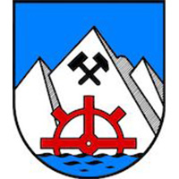
3. from the visitor centre to Mühlbach
Destination - Arthurhaus
The third stage is approx. 11 kilometres long. The hike takes approx. 4 hours.

4. from the Arthurhaus to the village of Mühlbach
Destination - Mühlbach town centre
This is an easier stage with a length of approx. 10 km. The duration of the hike is approx. 3 hours.
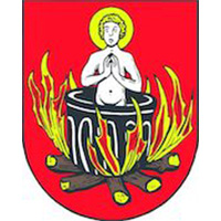
5. from Mühlbach to the St. Veit sun terrace
This stage is approx. 16 km long and requires a reasonable level of fitness. The duration of the hike is approx. 4-5 hours.
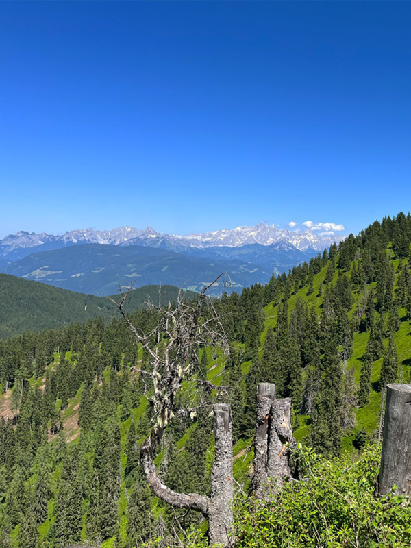
1st stage: Hüttau to the Hochgründeck

The Ore Trail is the centrepiece of the Ore of the Alps UNESCO Global Geopark. It starts at the Larzenbach show mine in Hüttau. There, an exciting guided tour brings the historical copper mining process to life. The Ore Trail leads from the show mine to the municipality office in the town centre, where the "Ores, Gold and Minerals" museum is located. An extensive collection of minerals can be admired there. From the town centre in Hüttau, the ore trail leads up to the Klammalm. Before the hike up to the Hochgründeck, you can stop there for a bite to eat. The hiking trail to the Hochgründeck first leads along a wide forest path and then through the forest. The trail is accompanied by information boards with information about the landscape, the history of the region and the history of mining.
The destination of this stage is the Heinrich Kiener Haus at 1,800 metres above sea level with the Friedenskirche (peace church) and the summit cross (1,827 metres). The Heinrich Kiener Haus not only offers refreshments and regional specialities, but also overnight accommodation.
The view is breathtaking: You have a 360° views of the surrounding valleys, mountain ranges and villages. The Hochkönig massif is to the west and the Tennengebirge to the north. To the south, you can see as far as the Hohe Tauern, with the Kitzsteinhorn, the Großglockner and the Wiesbachhorn, while the Radstädter and Schladminger Tauern and the Dachstein extend to the east. A special geological feature of the Hochgründeck is the mountain rift with a double ridge. This occurs when the rock tears open due to gravity or the melting of glaciers and two ridges and crevasses form in the tearing area.
Length and duration of the stage: The first stage is approx. 13 kilometres long. It takes about 4 hours to complete.
2nd stage: Hochgründeck to Bischofshofen
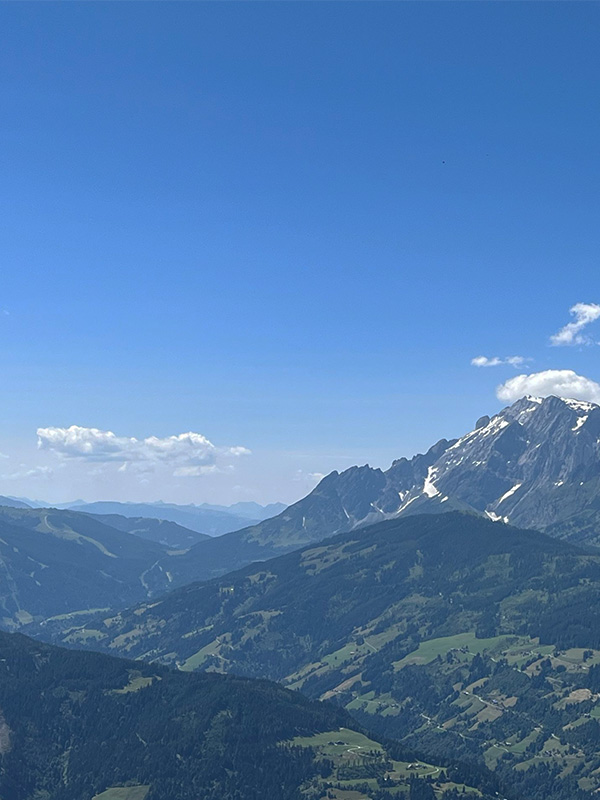
From the Heinrich Kiener Haus on the Hochgründeck, the trail leads down to Bischofshofen. On the way over the Hofersattel, past the Hörndlwald chapel and over the Buchberg, you can take a short detour to the historic Buchberg church. The church, which dates back to the 11th century, features a massive limestone marble altar carved out of a local boulder and a Gothic fresco frieze. The small church with its wonderful view of Bischofshofen is still very popular for weddings and christenings. It is not open to visitors. The path leads from Buchberg to Bischofshofen. In the town centre you can see the parish church and the Kastenturm, one of the oldest buildings in Pongau. The destination of this stage is the visitor centre in the ski jump area next to another highlight of the Erzweweg, the Paul-Außerleitner ski jump. This is the venue for the final of the annual Four Hills Tournament.
In the visitor centre, an exhibition themed around the Ore of the Alps UNESCO Global Geopark can be visited free of charge. Accommodation options in Bischofshofen include the "Tirolerwirt", the "Gasthof Schützenhof" and the "Harry's Home" hotel. In Bischofshofen, the Maximilians farmers' market takes place every Friday in the town centre, where local specialities, handicrafts and organic fruit and vegetables are sold by farmers from Salzburg.
Length and duration of the stage: This stage is approx. 11 km long and takes approx. 3 hours.

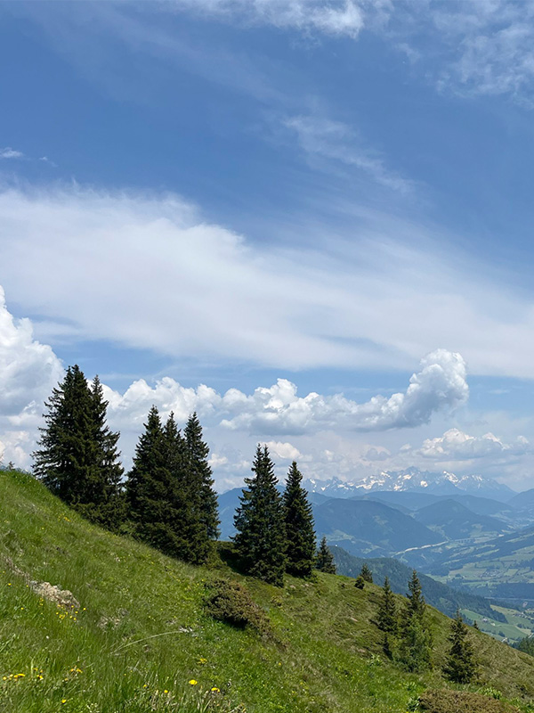
3rd stage: From Bischofshofen to the Arthurhaus

The third stage leads from the visitor centre in the ski-jump area via the Gainfeld waterfall to the ruins of Bachsfall Castle. Where now only ruins can be seen, the wealthy Lords of Pongowe lived in the 12th century, who administered this area as servants for the Archbishop of Salzburg. However, the first settlements date back to prehistoric times (around 1,800 BC). The Ore trail continues to the Burglhöh inn, then over the Knappensteig and past the cold spring to the Arthurhaus in Mühlbach am Hochkönig. The Knappensteig, which leads up to the Mitterberg, is an approx. 10 km long forest path along which the miners travelled from the ore depot to the work site and could easily transport the material without having to negotiate any sharp bends. From the Arthurhaus you have a breathtaking view of the Hochkönig massif with the Mandlwände.
For families with children, there is a petting zoo in the Arthurhaus and the 1.5 km long marmot trail, which is also accessible with a pushchair. Here you can observe a colony of around 20 marmots in their natural habitat up close. An ascent to the Mitterfeldalm, which takes around 40 minutes from the Arturhaus, is also recommended for families. For experienced mountain hikers, the Mitterfeldalm is the last opportunity to stop for refreshments before the ascent to the Hochkönig (ascent time: approx. 5.5 hours). The Berghotel Arthurhaus offers overnight accommodation directly in the hiking area.
Length and duration of the stage: The third stage is approx. 11 kilometres long. The hike takes approx. 4 hours.
4th stage: Arthurhaus to the village of Mühlbach
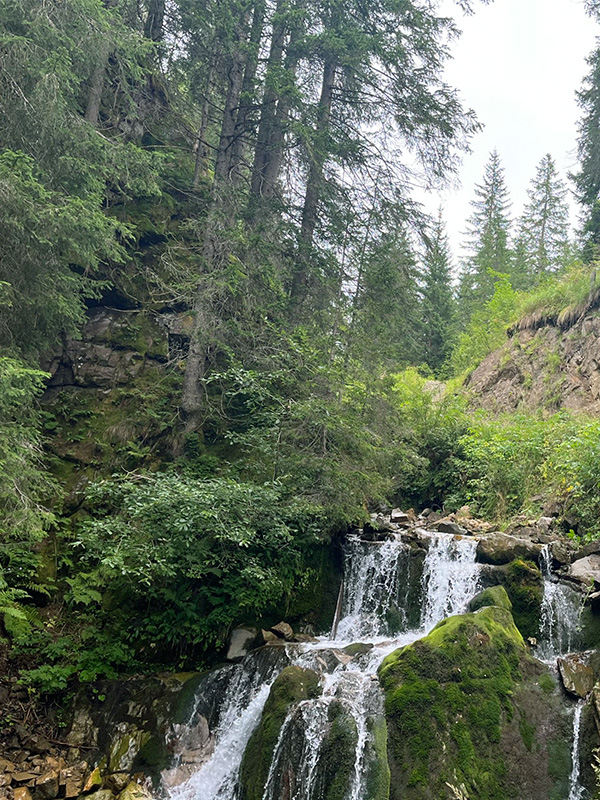
The fourth stage of the Ore Trail leads from the Arthurhaus down to the village of Mühlbach. Before you start the descent, you can visit the historically significant "kalte Brünndl". Copper deposits were rediscovered at this location after around 2,000 years and copper ore mining was resumed in the 19th century. From the Arthurhaus, the route leads through the Barbaragorge and along the old Mitterberger road into the village. On the way into the valley, you pass an opening into the mountain, the so-called Keltenloch, which is the entrance to a Bronze Age mine. Not far from here is the Maria-Hilf tunnel, which is the longest mine on the Mitterberg. It is no longer accessible for safety reasons. After the larch avenue on the way to the village, the Barbara Gorge begins, which you can hike through on a beautifully developed path.
The destination of this stage is the Johanna show mine and the Knappenheim, where the Mining and Local History Museum is located today. Here you can experience around 5,000 years of mining history up close in the museum and on a guided tour of the Johanna Stollen.
Length and duration of the stage: This is an easier stage with a length of approx. 10 km. The duration of the hike is approx. 3 hours.

Stage 5: From Mühlbach to the St. Veit sun terrace

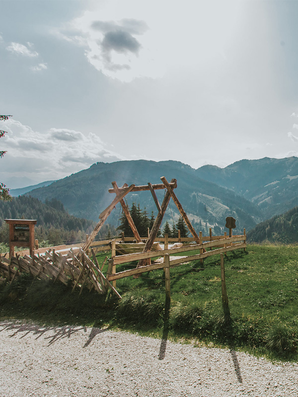
The fifth and final stage of the Ore Trail leads from Mühlbach to St.Veit im Pongau with the destination of the Seelacken Museum and the Sunnpau show mine. From Mühlbach am Hochkönig, the route leads via the Pauss Bauer to the Pronebenalm. There, a resting place with an incredible view invites you to linger before beginning the descent to St. Veit. The last section of this stage takes you along a forest path to St. Veit im Pongau, Salzburg's sun terrace. Once you arrive in the village, you can take a break in the beautiful market square and stop off at one of the restaurants. The Sunnpau show mine is about an hour's walk from the centre of St. Veit. The path leads past the Pfarriachstein chapel ("Fadlstoa Kapelle") to the show mine.
In the Sunnpau show mine, you can experience 4,000 years of mining history. Traces of the prehistoric beginnings of mining with wooden wedges and stone hammers through to modern mining with black powder can be seen in the tunnels. From there, the trail continues to the Seelacken Museum, where the ore trail ends. The Seelacken Museum has exhibits on folk culture, mining, literature and agriculture in the region.
Length and duration of the stage: This stage is approx. 16 km long and requires a reasonable level of fitness. The duration of the hike is approx. 4-5 hours.